
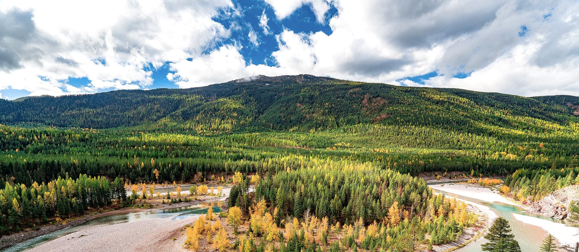
Scope
The Internal Revenue Code requires that a donated conservation easement come with documentation sufficient to establish the condition of the property at the time of the gift. Land Trust Alliance Standards and Practices 11B addresses what belongs in such a report and the standard of care expected in putting one together.
Snowline handles the forest resource component.
- Stand delineation and mapping, produced in GIS, delivered in whatever format your files use.
- Forest condition inventory covering composition, structure, size class distribution, stocking and health, at a sampling intensity agreed to the purpose.
- Permanent photo points with bearings, coordinates and reference imagery, set up so a future steward can stand in the same place.
- Narrative description of forest conservation values, current condition, and existing uses and improvements.
- Insect, disease and wildfire condition assessment where it bears on the values being protected.
Why the forest component often wants a forester
Baseline reports frequently get prepared by staff who are excellent generalists and aren't foresters. On open ground that works fine. On heavily timbered property it can produce a report that describes the forest in terms too general to be useful later, which is a problem precisely when it matters, because the report exists to be compared against.
A baseline that records stand structure and stocking in measurable terms lets a steward twenty years on tell ordinary growth from a violation. One that says the property is wooded doesn't.
Where this sits alongside monitoring
Most established Montana land trusts run annual monitoring with their own staff and volunteers, funded from stewardship endowments, and that arrangement works well. The baseline is a different problem. It's one-off, technical, and tied to the closing date, which is why it commonly gets contracted out.
Where a trust does want outside help on the forest component of a monitoring visit, after a fire, a beetle year, or a suspected unauthorized harvest, that's straightforward to support against a baseline already in hand.
Questions people ask
It's the record of a property's condition at the moment a conservation easement is granted. Because an easement is perpetual and restricts what can be done on the land, there has to be an agreed description of the starting point, or nobody can later tell what changed. Federal tax regulations require it to substantiate a donation, and land trust practice standards address what it should contain.
Field work on a typical forested conservation property runs a few days depending on acreage, terrain and the sampling intensity agreed, with the written and mapped deliverable a few weeks behind. Since baselines are tied to a closing date, and western Montana field work is seasonally constrained by snow at elevation, it pays to schedule early in the transaction.
Yes. Most trusts have an established report format, photo point protocol and GIS schema, and consistency across a portfolio matters more than any preference on my end. Deliverables can come as shapefiles or geodatabase, with photo point metadata structured however your stewardship records want it.
It's available, though it's usually not what a Montana trust needs. Most established trusts here staff annual monitoring internally from a dedicated stewardship endowment, and that's the right arrangement. The technical forest work is the part more commonly contracted out: baselines, and follow-up assessment after a fire, an outbreak, or a suspected violation.
Timber inventory and valuation is available and is a separate engagement from the baseline. Worth being precise about roles. The qualified appraiser establishes the value of the easement itself, and a forester's timber cruise is an input that appraiser may rely on. Keeping those functions distinct is good practice, and in the context of a charitable deduction it matters.
Where this comes from
- Land Trust Standards and Practices (opens in a new tab)Land Trust Alliance · Revised 2017
Last reviewed